
Image
Posted On
Jeudi 15 janvier 2026 - 13:00
Corps
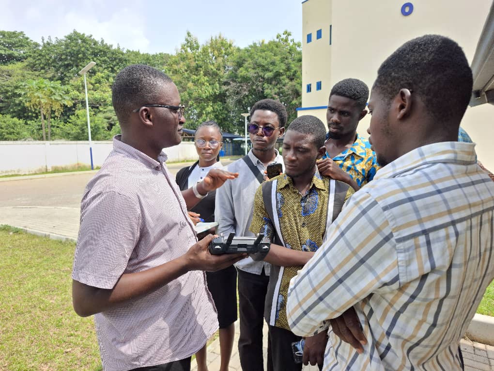
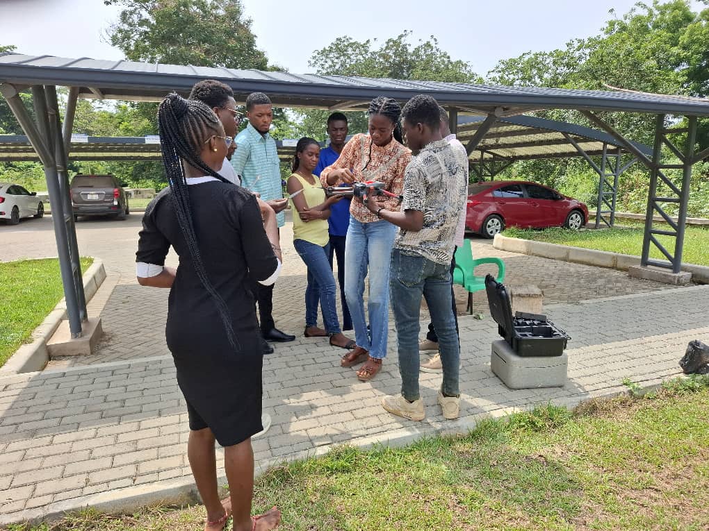
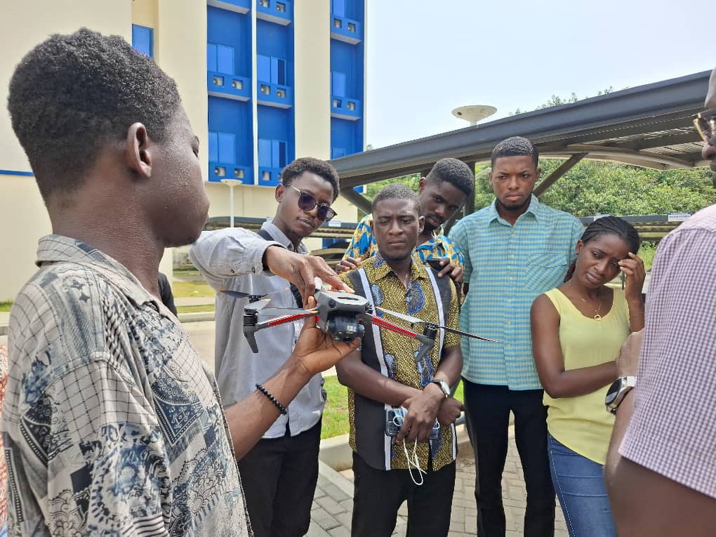
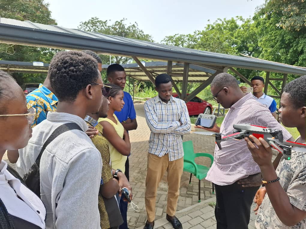
The GIS Unit of the Center for Coastal Management, ACECoR, recently held a hands-on drone flying training for graduate students in Environmental Science at the University of Cape Coast, as part of their advanced GIS and remote sensing course.
Students were particularly taken through the features and operation of the Mavic III thermal drone in collecting environmental data.
The instructor, Mr. Kwadwo Agyenim-Boateng, indicated that the goal of the session was to help students better understand how GIS and remote sensing work in real-world settings. According to him, “This practical session would give students a direct feel of how data is captured”.
Most students who participated in the session described it as very insightful and also highlighted the need for them to have such hands-on experience. According to Paul Ayensu, an MPhil Environmental Science student, learning how to fly drones is particularly key in their field of study, as it is used for monitoring environmental challenges such as deforestation and land degradation.
Students also expressed the need for more practical sessions as they believe that regular hands-on training will better equip them build stronger skills on how to fly drones.
Dernière modification