
Image

Posted On
Friday, February 10, 2023 - 15:18
Body
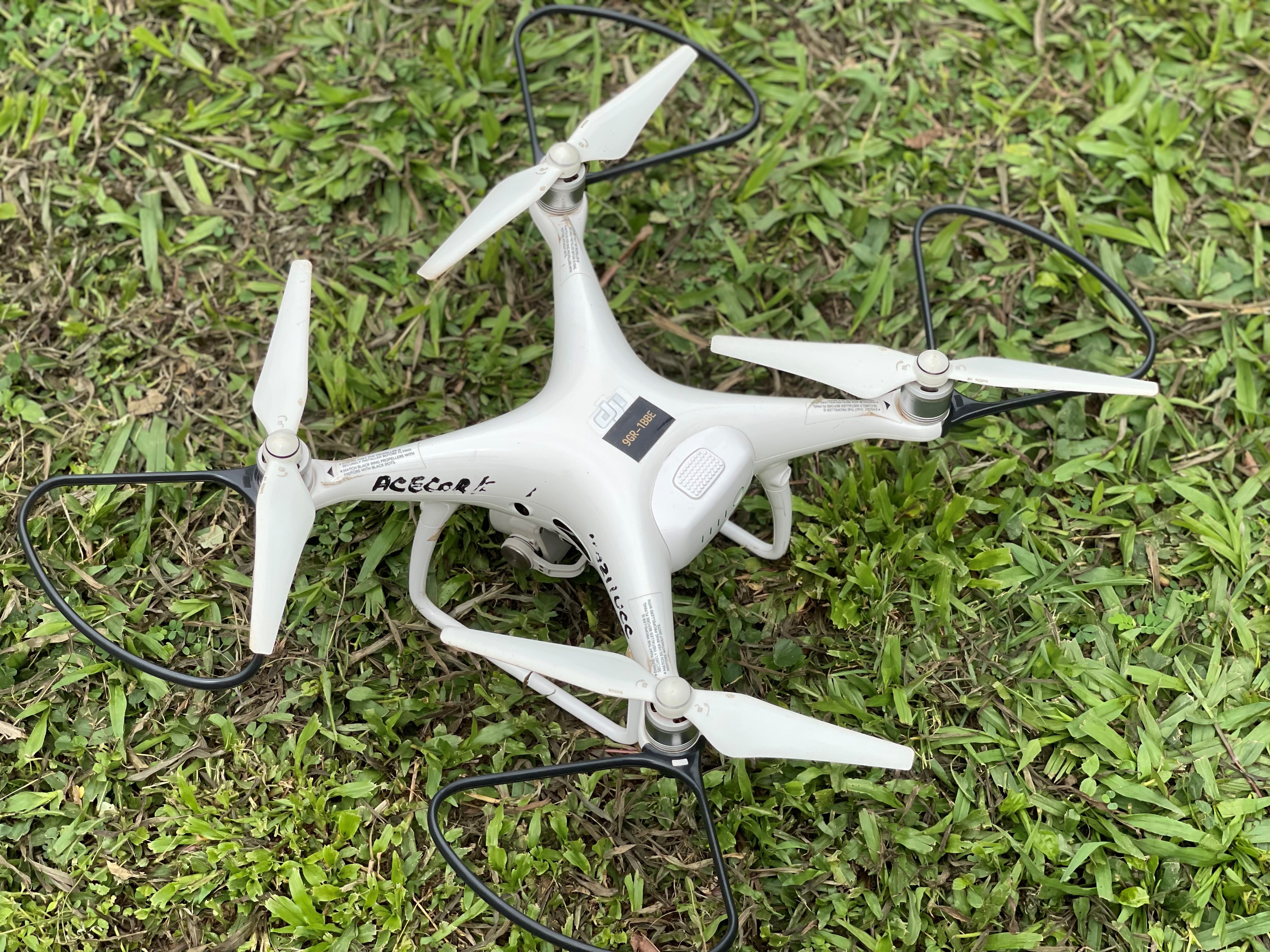
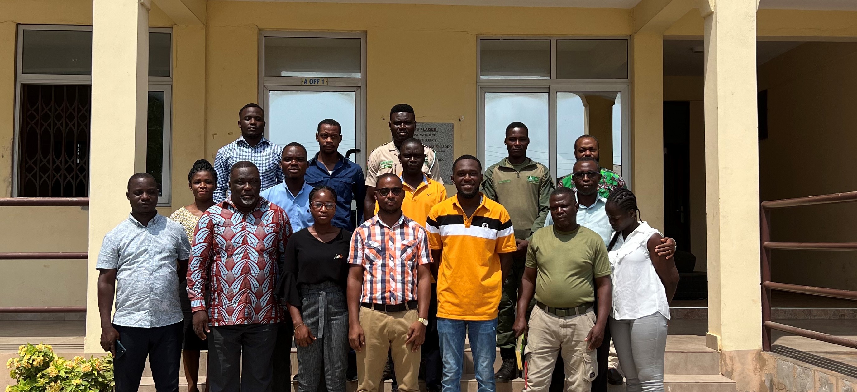
A two-day training has been held for the staff of the Anloga District Assembly and Forestry Commission in Anloga on the use of drones for mapping under the Coasts-Under-Control project within the Centre for Coastal Management, UCC. The training came off as part of community extension services of the project funded by the “Jeunes Equipes Associées à l'IRD” (JEAI) Program which is one of the main scientific cooperation schemes of the (Institute of Research for development,IRD).
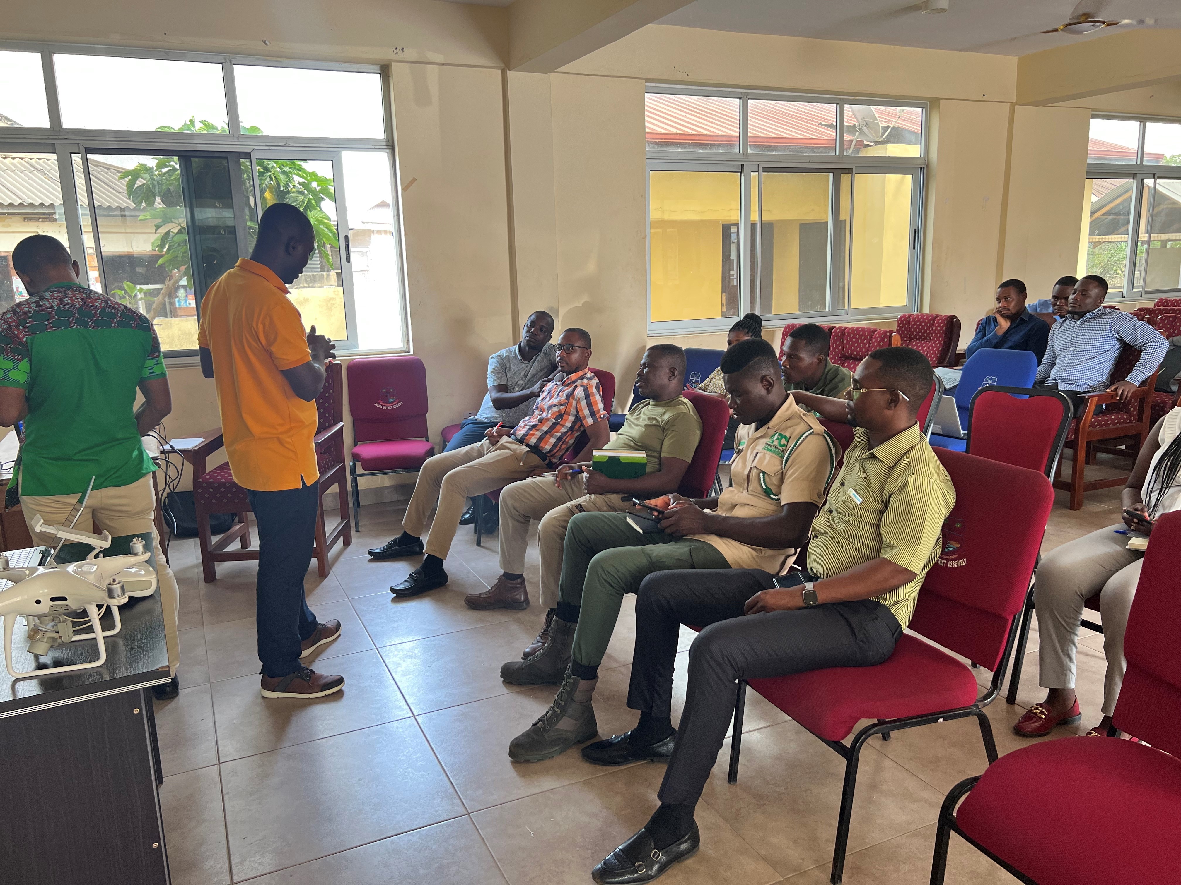
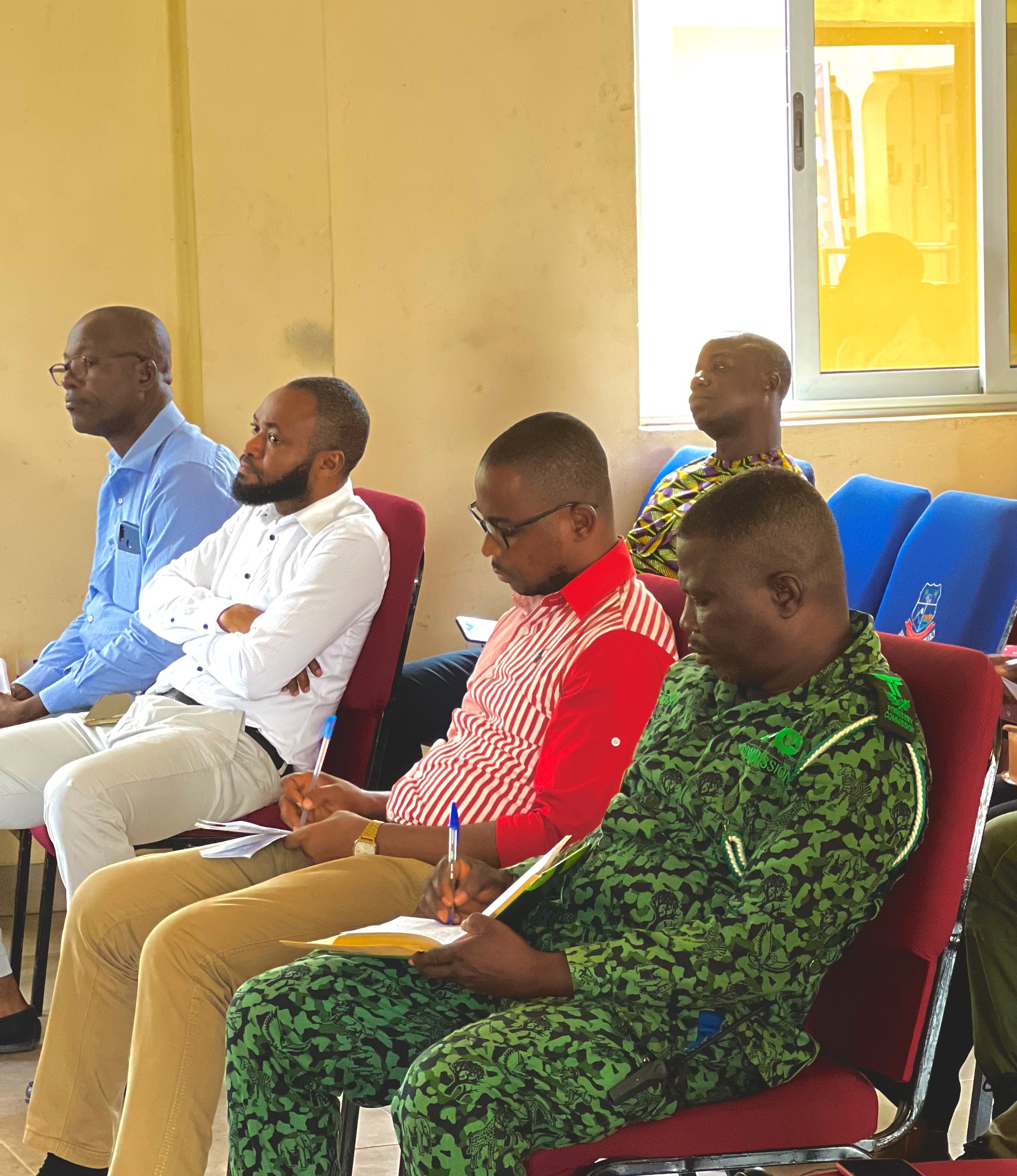
The training was held in two parts; theoretical sessions and practical sessions, with the theoretical session involving a brief introduction to some safety guidelines stipulated by Ghana Civil Aviation on the use of unmanned aerial vehicles (UAVs) . Participants were also enlightened on some uses and applications of drones or UAVs. The practical session also covered an explanation of various components, basic manual flights, and mission planning for 2D (two-dimensional) mapping.
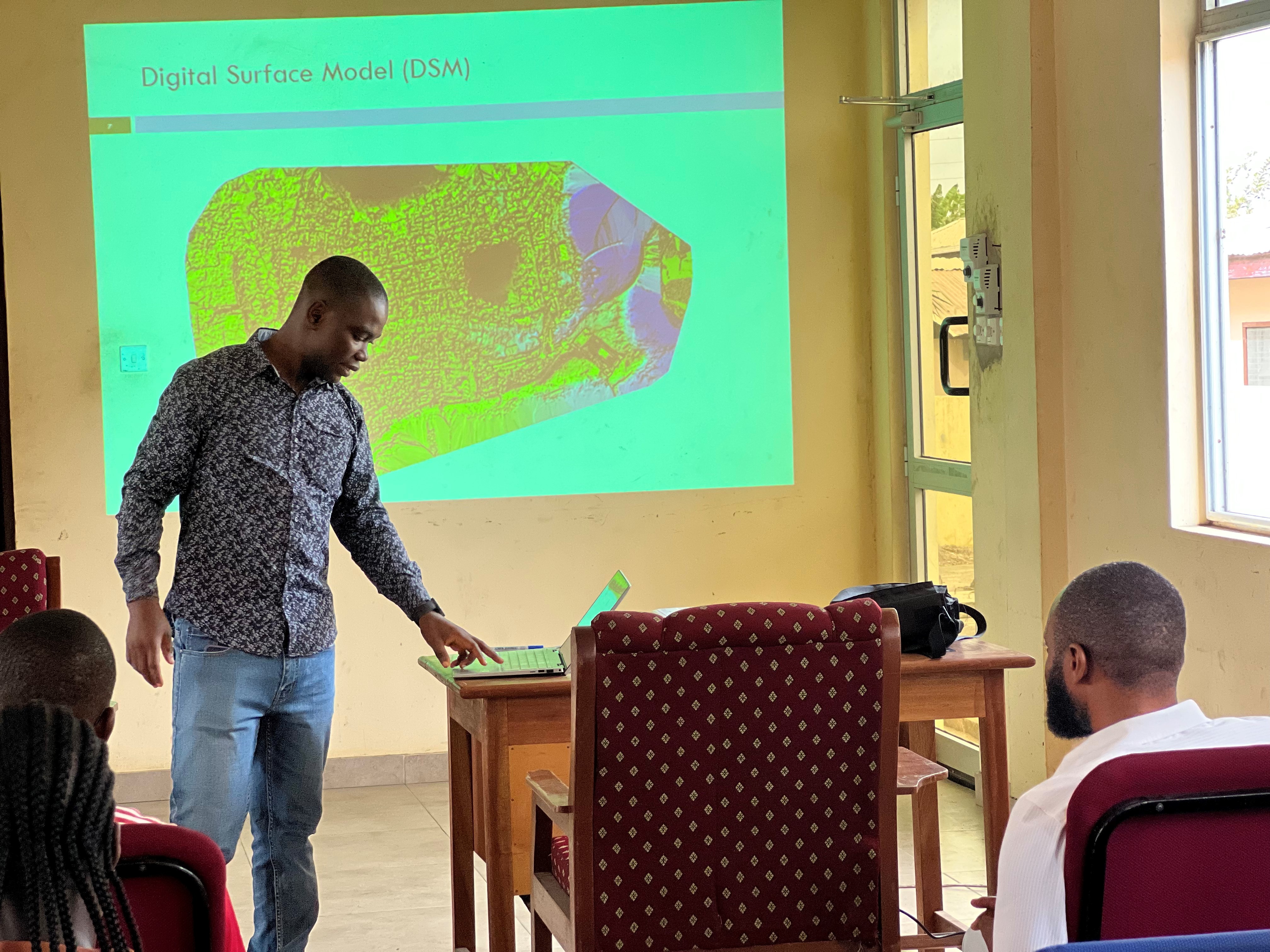
As part of the practicals, field and laboratory sessions were held. These included training that covered the aspect of preprocessing drone images into Orthomosaic using Agisoft software. First, participants were taken through different ways of retrieving information from these image data and performed preprocessing steps involving image alignment, dense cloud DEM (digital elevation models) and orthotopic generation.
At the end of the training, the participants were equipped with GIS skills, as well as manning the drone. They hope to use this knowledge and skill in mapping the area within their assembly to support research
The program was successful and the participants together with the staff of the Anloga District Assembly were appreciative and also requested training involving the use of GIS to be able to extract spatial information from the data collected.
Last modified